Insider Information on Obtaining AHD Heights from GNSS

Discover the secrets to accurately obtaining Australian Height Datum (AHD) heights from Global Navigation Satellite System (GNSS) measurements. Learn from Will Featherstone of the Western Australian Centre for Geodesy at Curtin University on the methods and techniques used in the process.
- Uploaded on | 0 Views
-
 hermann88
About Insider Information on Obtaining AHD Heights from GNSS
PowerPoint presentation about 'Insider Information on Obtaining AHD Heights from GNSS'. This presentation describes the topic on Discover the secrets to accurately obtaining Australian Height Datum (AHD) heights from Global Navigation Satellite System (GNSS) measurements. Learn from Will Featherstone of the Western Australian Centre for Geodesy at Curtin University on the methods and techniques used in the process.. The key topics included in this slideshow are AHD heights, GNSS measurements, accurate, Western Australian Centre for Geodesy, Curtin University,. Download this presentation absolutely free.
Presentation Transcript
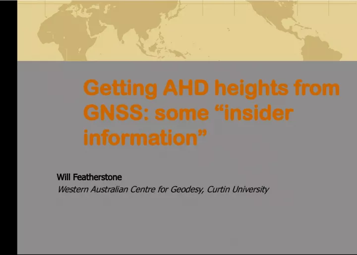
1. Getting AHD heights from GNSS: some insider information Will Featherstone Western Australian Centre for Geodesy, Curtin University
2. Outline The basics and not so basics of heights North-south tilt and distortions in the AHD Geoid comps 101 (without maths, I promise) Vertical errors in GNSS, AHD and geoid Whats new in AUSGeoid09? Weaknesses of AUSGeoid09 Check, check and check again Q&A
3. The basics: AHD from GNSS Absolute (AUSPOS or PPP) H (AHD) ~ = h (from GNSS) N (from AUSGeoid) Suffers from biases [covered later] Relative (GNSS baselines) H (AHD) ~ = h (from GPS/GNSS) N (from AUSGeoid) Constant biases cancel over shorter baselines Remember that its algebraic Important over most of WA as N can be negative E.g., h =0m, N =-30m, thus H ~ =+30m
4. The not-so basics Geoid vs quasigeoid - subtly different surfaces AHD fixed to MSL @ 32 TGs MDT+IBR+v offsets AHD from geoid AHD is normal orthometric H* Need AHD- ellipsoid separation AHD H AHD
5. North-south tilt in the AHD Slope of 48mm/deg explained near-fully by MDT+IBR+v Distortions (>10cm)
6. Geoid comps 101 Because the AHD is normal-orthometric, we must model the quasigeoid Long-wavelengths from an Earth gravity model satellite orbit analyses, land, airborne and altimeter gravity (EGM2008) Add gravity and terrain data via Stokess integral Integral must be modified to filter out errors Our modifier works OK
7. 7 H errors: levelling/vertical datum Datum point(s) offset from geoid (0-2m) Type/realisation of height system (~5-20cm) Temporal variations, e.g. GIA (~0-10cm) Instrumentation & methodology (? 2-50cm) Refraction, # setups, tedious method, etc. Tidal system (1-2cm) Distortion in the vertical datum (10-50cm) Confusion over height system
8. 8 h errors: GNSS ellipsoidal heights Vintage of data (2-10cm) e.g. pre-IGS, old equipment/methods/models, etc. Datum (1-5cm) e.g., variants of ITRF, observed vs transformed, etc. Antenna height measurement (2mm-1.8m) And to which point: ARP, slope, true vertical, top, bottom, etc. Intrinsic GNSS errors (? 2-20cm) VDOP, orbits, atmospherics, multipath, RF interference, etc. Algorithmic/theoretical errors Occupation time (longer needed for h )
9. 9 N errors: quasigeoid model Earth gravity model (EGM) (~5-20cm) Data treatment errors (? 10-20cm) Local gravity and terrain data (? ~20cm) Algorithmic/theoretical errors (? 1-20cm) Zero- and first-degree terms (~1-10cm) Temporal geoid variations (? ~2-10cm) Tidal system (1-2cm) Mountains and coasts quasigeoid poorer
10. Whats new in AUSGeoid09? Lots of new data >0.5M extra gravity obs, new TCs, new EGM Improved processing Higher resolution (1x1) Better interpolation Perth has v steep gradient LSC-fitted to AHD using ~6,000 GPS-levelling points RMSE 3-5cm
11. Weaknesses of AUSGeoid09 Poorer in the coasts and hills Lack of data AHD not defined offshore, but LSC-fitting has extrapolated Model of MSL (loosely) LSC correlation length Some large residuals & randomly scattered Sources still unknown Checks always needed mm
12. Check, check and check again A blanket statement of the precision of AHD heights from GNSS is indefensible AUSGeoid09 is a weak link, though errors in GNSS and AHD cannot be dismissed e.g., GNSS and/or AHD used in fitting may be wrong Just as the good surveyor validates his/her levelling, the same applies to GNSS-AHD Do your own validation for each and every project Always remain sceptical
13. Check, check and check again Just because AUSGeoid09 may have performed well on previous projects does not mean that it will elsewhere! GNSS heighting is spatially and temporally variable [Bad] anecdote Oh, its been OK, so we dont bother checking any more
14. 14 References (all in PDF on my website) Featherstone WE (1998) Do we need a gravimetric geoid or a model of the base of the AHD to transform GPS heights? Australian Surveyor 43(4):273- 280 Featherstone WE, Kuhn M (2006) Height systems and vertical datums: a review in the Australian context, J Spatial Sci 51(1):21-42, Featherstone WE, Kirby JF, Hirt C, Filmer MS, Claessens SJ, Brown NJ, Hu G, Johnston GM (2011) The AUSGeoid09 model of the AHD , J Geodesy 85(3):133-150 Brown NJ, Featherstone WE, Hu G, Johnston GM (2011) AUSGeoid09: a more direct and more accurate model for converting ellipsoidal heights to AHD heights, J Spatial Sci 56(1):27-37 Featherstone WE, Filmer MS (2012) The north-south tilt in the AHD is explained by the oceans MDT, J Geophys Res 117, C08035, doi: 10.1029/2012JC007974
15. Acknowledgements Australian Research Council for endorsement and funding for nearly two decades My numerous collaborators on geoid and height determination The many providers of data, particularly Geoscience Australia 15 Q&A
16. Australian surveyors already well know that GPS-measured ellipsoidal heights have to be transformed to AHD heights by application of AUSGeoid; its a simple [algebraic] subtraction (i.e., AHD=GPSh--AUSGeoid). However, knowing how reliable, precise and accurate this seemingly simple coordinate conversion is rather murky, and varies widely depending on location. As the chief investigator on the production of the AUSGeoid98 and AUSGeoid09 national standards, which are promulgated by Geoscience Australia, I will attempt to demystify really how well we might be able to measure reliable heights on the AHD with GPS and AUSGeoid. Some of the considerations to be covered are practical and simple (e.g., remembering to measure the antenna height and to which point); some are rather more esoteric (e.g., the effect of gravity on heights and the north- south slope in the AHD with respect to the geoid). In conclusion, the veracity of GPS-AUSGeoid-derived AHD heights has to be treated sceptically by the practicing surveyor before supplying so-derived AHD heights to clients.