Applications of the AWG Cloud Height Algorithm

The ACHA has found applications in tropical cyclones, non-convective forecasts, AMV estimation, PG experiments and field campaign support. This poster highlights these applications and the multi-sensor approach of ACHA.
- Uploaded on | 0 Views
-
 dharmesh
About Applications of the AWG Cloud Height Algorithm
PowerPoint presentation about 'Applications of the AWG Cloud Height Algorithm'. This presentation describes the topic on The ACHA has found applications in tropical cyclones, non-convective forecasts, AMV estimation, PG experiments and field campaign support. This poster highlights these applications and the multi-sensor approach of ACHA.. The key topics included in this slideshow are . Download this presentation absolutely free.
Presentation Transcript
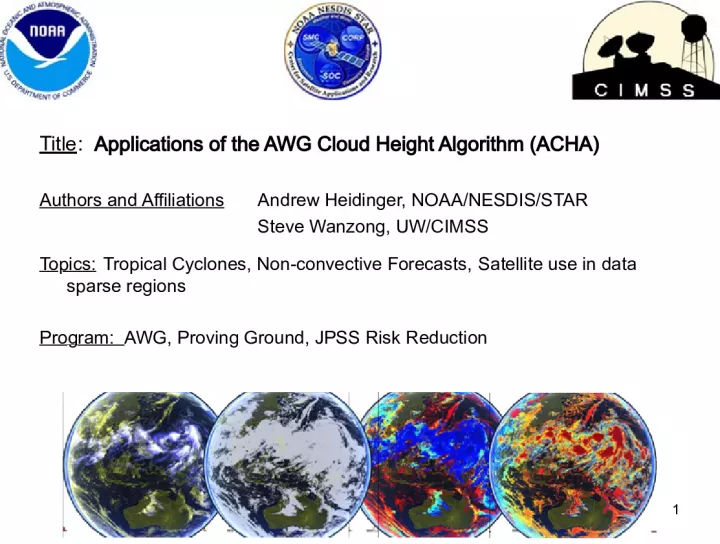
1. Title : Applications of the AWG Cloud Height Algorithm (ACHA) Authors and Affiliations Andrew Heidinger, NOAA/NESDIS/STAR Steve Wanzong, UW/CIMSS Topics: Tropical Cyclones, Non-convective Forecasts, Satellite use in data sparse regions Program: AWG, Proving Ground, JPSS Risk Reduction 1
2. 2. Introduction The GOES-R AWG funded the development of a cloud height algorithm to exploit the advanced capabilities of the ABI. The AWG Cloud Height Algorithm (ACHA) has evolved into a multi-sensor approach . ACHA products have found application in AMV estimation, PG experiments and field campaign support. ACHA is implemented into NESDIS Ops . This Poster highlights these applications and the lessons learned. 2
3. 3. Methodology/Expected Outcomes The original ABI ACHA operated on the 11, 12 and 13.3 m observations and therefore operated on MODIS and SEVIRI . ACHA was modified to operate on the IR channel sets offered by AVHRR, GOES, MTSAT, COMS and VIIRS . The ability to run on current sensors gives us an opportunity to engage users and applications now . 3
4. Demonstration of Global ACHA 4 Image below demonstrates ACHA products from GOES-15, GOES-13, MET- 10 and MTSAT-2 at 18Z on February 15 2013. Global coverage is achieved with inclusion of AVHRR, MODIS and VIIRS. CIMSS creates global-geo composites of ACHA for Aviation Support.
5. ACHA Comparison to NWP 5 Image on right demonstrates ACHA products from GOES-15, GOES-13, MET-10 and MTSAT-2 at 18Z on February 15, 2013 Image on left is the derived cloud-top pressure from the NCEP GFS 12hr Forecast. Cloud-top pressure derived from cloud liquid water profiles. ACHA being sent to Rapid Refresh Group at NOAA/OAR/ESRL. Being testing for improving cloud building in the RAP model. NCEP/GFS group also using ACHA and other products for model verification.
6. ACHA Support for Field Campaigns 6 ACHA and other AWG cloud products have found use in Field Campaigns. Data is available in field catalogs of the 2012 TORERO and DC3 campaigns. ACHA results used in flight planning where cirrus altitudes were needed. ACHA also used in the Hurricane and Severe Storm Sentinel (HS3) experiment. ACHA cloud heights used to help estimate if a storms maximum cloud height exceeded the altitude range of the instrument drone aircraft. Image on right is from HS3 Image courtesy of S. Monette (CIMSS)
7. ABI ACHA Cloud Top Pressure (CTP) Product from WRF-CHEM/CRTM simulated ABI data (CIMSS) Cloud Top Pressure January 29-30, 2013 Tornado Outbreak GOES-East Sounder (Not ACHA) ACHA CTP From ABI Proxy Data ACHA Generated using Simulated ABI Radiances for GOES-R PG. Images courtesy of T. Schmit (NOAA)
8. hPa CALIPSO validation of ACHA heights used in SEVIRI Wind Products. Location shown on bottom right image. CALIPSO PATH WITH AMV Points AMV Results for SEVIRI using ACHA AMV Application of ACHA AWG Atmospheric Motion Vector (AMV) algorithm uses pixel-level cloud height products from ACHA. This application provides additional insight into ACHAs performance. Overall, use of pixel-level height has shown benefits to AMV generation.
9. 5. Possible Path to Operations ACHA is already operational in NESDIS . ACHA runs operationally on the GOES- Imager via the GOES Surface & Insolation Project (GSIP) and on the AVHRR in Cloud from AVHRR Extended Project (CLAVR-x) Real-time data is served also from CIMSS Climate data is generated with the Pathfinder Atmospheres Extended Project (PATMOS-x) and hosted at NCDC. 9
10. 6. Future Plans To better support the AWG mission, we intend to implement ACHA on simulated ABI data and the GOES Sounder. In the presence of complex vertical structures, cloud profile information from NWP appears capable of improving ACHA and we are collaborating with Stan Benjamin on this (GIMPAP funded). VIIRS lacks any IR absorption channels. Work being done at CIMSS will allow CrIS data to provide MODIS- like channels in real-time and allow for more consistent VIIRS/GOES-R products. 10
11. 7. Publication List Heidinger, A. K.; Pavolonis, M. J.; Holz, R. E.; Baum, Bryan A. and Berthier, S. Using CALIPSO to explore the sensitivity to cirrus height in the infrared observations from NPOESS/VIIRS and GOES-R/ABI. Journal of Geophysical Research, Volume 115, 2010, doi:10.1029/2009JD012152 Heidinger, Andrew K. and Pavolonis, Michael J. Gazing at cirrus clouds for 25 years through a split window, part 1: Methodology. Journal of Applied Meteorology and Climatology, Volume 48, Issue 6, 2009, pp.1100-1116. 11