Understanding Air Masses and Fronts in Weather Patterns

This article explains what an air mass is, which is a large body of air that takes on the temperature and humidity of a particular region. These air masses are usually thousands of
- Uploaded on | 1 Views
-
 georgia
About Understanding Air Masses and Fronts in Weather Patterns
PowerPoint presentation about 'Understanding Air Masses and Fronts in Weather Patterns'. This presentation describes the topic on This article explains what an air mass is, which is a large body of air that takes on the temperature and humidity of a particular region. These air masses are usually thousands of. The key topics included in this slideshow are . Download this presentation absolutely free.
Presentation Transcript
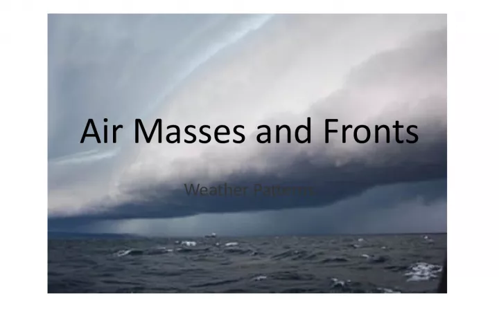
Slide1Air Masses and FrontsWeather Patterns
Slide2What is an Air Mass?• An AIR MASS is a large body of air that takes on the TEMPERATURE and HUMIDITY (moisture) of a region • Usually THOUSANDS of miles in diameter • Forms over a source region with relatively stable conditions • Named for the SOURCE REGION (where it comes from)
Slide3Two Air Masses: each air mass has roughly thesame temperature and humidity
Slide4Types of Air Masses:Named by where they come from ! • POLAR : source region (colder air mass) (P) • TROPICAL: source region (warmer air mass) (T) (basically north or south) ************************************** • MARITIME: Source region (formed over the ocean)(m) • CONTINENTAL: Source region (formed over land) (c) (over ocean or land)
Slide5Types of Air Masses:Maritime Tropical (mT): form over the tropical oceans, very humid Maritime Polar (mP): form over cold ocean areas, cool but humid air Continental Tropical (cT): Hot, dry , air masses from the southwest Continental polar (cP): cool or cold dry air
Slide6 can you find the different continental air masses? Can you find the different continental air masses?
Slide7These circles enclose air masses.What is the name of a line that surrounds an area of EQUAL TEMPERATURE? ISOTHERM These circles enclose air masses. What is the name of a line that surrounds an area of EQUAL TEMPERATURE? ISOTHERM
Slide8QUESTION:WHICH AIR MASS DO YOU THINK WOULD PRESS DOWN ON THE EARTH MORE? a COLD AIR MASS or a WARM Air MASS? WHY?
Slide9How do the air masses move?• WINDS ! • Uneven heating of the earth’s surface causes convection currents which cause differences in pressure , which causes winds. • Prevailing westerlies generally push the air masses from WEST EAST
Slide10FRONTSWhere Air Masses collide
Slide11What is a FRONT?• A weather FRONT forms when two unlike air masses meet (cold and warm air masses) • Because of the difference in TEMPERATURE and DENSITY of the air masses, the meeting results in storms and changing weather. • Fronts are named by which air mass is MOVING!
Slide12FOUR FRONTS• COLD FRONT- cold air mass moving • WARM FRONT- warm air mass moving • STATIONARY FRONT – neither air mass moving • OCCLUDED FRONT-warm air mass caught between two cold air masses
Slide13 Colder, more dense air. Warmer, less dense air. IF AIR MASS #1 MOVES TOWARDS AIR MASS #2 COLD FRONT COLD FRONT SYMBOL: COLD FRONT
Slide14 Colder, more dense air. Warmer, less dense air. • Cold Air moves in quickly to replace warmer air • Warmer air will rise, cool, then form large, CUMULONIMBUS CLOUDS (the thunderstorm kind) • Usually cause short lived, violent STORMS (rain, snowfall) COLD FRONT
Slide15 COLD FRONT DIAGRAM: What happens to the temperature after a cold front moves though an area?
Slide16WARM FRONTIF AIR MASS #2 MOVES TOWARDS AIR MASS #1 WARM FRONT WARM FRONT SYMBOL: Air Mass #1 Colder, More Dense Air Air Mass #2 Warmer, Less dense Air
Slide17WARM FRONT• Warm Air Mass moves in to replace colder air mass • Moves SLOWER than Cold front • Clouds that form are thinner (not puffy) • Usually causes LIGHTER, but LONGER periods of precipitation • In winter, brings snow. Air Mass #1 Colder, More Dense Air Air Mass #2 Warmer, Less dense Air
Slide18WARM FRONT DIAGRAM:WARM AIR MASS collides with a cold air mass. Warm air slowly moves OVER cold air. Longer rain storms.
Slide19STATIONARY FRONTA COLD AIR MASS AND A WARM AIR MASS MEET, BUT NEITHER HAS THE FORCE TO MOVE THE OTHER WARM FRONT SYMBOL: Cold Air Mass Warm Air Mass
Slide20 Cold fronts move FASTER than warm fronts. The weather activity in a cold front is often VIOLENT and happens directly at the front. Cold fronts have sudden gusty winds high in the air creating turbulence. The weather activity in a warm front generally happens before the front passes. Comparing Warm and Cold Fronts
Slide21SO WHY DO WENEED TO KNOW ABOUT FRONTS????
Slide22BECAUSEFRONTS ARE WHERE THE STORMS ARE!!!!!!
Slide28HURRICANE
Slide29Locate the 4 types of fronts on thisweather map. Hint 1 Hint 2 Hint 3 Hint 4
Slide30Cold Fronts
Slide31Warm Front
Slide32Stationary Front
Slide33Occluded Front
Slide34Weather Fronts34 Be a Weather Forecaster You are planning to travel to Alabama in 2 days. The high temperature there for today is 68 º F. You are planning to travel to Alabama in 2 days. The high temperature there for today is 68 º F. Use the map to help you predict whether the temperature in Alabama will increase, decrease, or stay the same. Explain why you think so.
Slide3535Be a Weather Forecaster There is a cold front approaching. The temperatures will probably be cooler behind the front. There is a cold front approaching. The temperatures will probably be cooler behind the front.
Slide36MAP TAP 2002-2003Weather Fronts 36 Be a Weather Forecaster • Of course, meteorologists (weather forecasters) use much more data than fronts and air masses to help them forecast the weather more accurately. But any forecast is just a prediction of what might happen. Even with the best data, weather forecasts can be wrong.