Understanding Regional Resources and Water Importance in Australia

This article provides an overview of the definitions of resources and regions, as well as the importance of water as a resource in Australia. It highlights the geographic characteristics of the Murray Darling Basin region, which is crucial for agricultural activities in the country.
- Uploaded on | 0 Views
-
 reybraun
About Understanding Regional Resources and Water Importance in Australia
PowerPoint presentation about 'Understanding Regional Resources and Water Importance in Australia'. This presentation describes the topic on This article provides an overview of the definitions of resources and regions, as well as the importance of water as a resource in Australia. It highlights the geographic characteristics of the Murray Darling Basin region, which is crucial for agricultural activities in the country.. The key topics included in this slideshow are Regional resources, water importance, Australia, Murray Darling Basin, geographic characteristics,. Download this presentation absolutely free.
Presentation Transcript
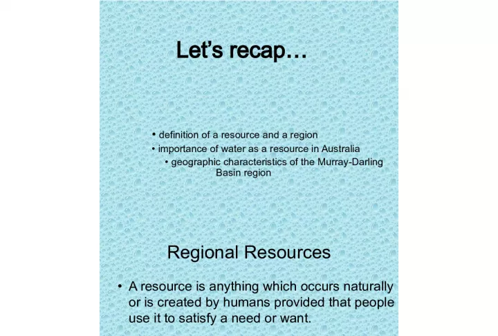
1. Lets recap definition of a resource and a region importance of water as a resource in Australia geographic characteristics of the Murray-Darling Basin region
2. Regional Resources A resource is anything which occurs naturally or is created by humans provided that people use it to satisfy a need or want. Regions are areas of various scales that have characteristics and features that distinguish them from other areas according to the elements used to define them.
3. Governments and other organisations often use the concept of region for planning purposes e.g. allocation of resources and development of policies. Resources found within regions mean different things to different people over place and time. E.g. water in the MDB is used by many different people for different things.
4. Importance of water in Australia Uneven distribution of rainfall- unreliable and seasonal Driest inhabited continent average 480mm rainfall a year Sustainable? Increasing population and demand. Used for agriculture (75%), pastoral, industrial, commercial and urban purposes. Australians use 350litres a day compared with Asia and Africa who use 50-100 litres.
5. Domestic use
6. Australias water users Domestic (cook, clean etc) Environmental (ecosystems, living species) Economic (growing crops, animals, transportation on water, HEP) Aesthetic (gardens, fountains, parks, ponds) Recreation (on and around water) Strategic (nations security and well being) Spiritual (religious ceremonies)
7. Describe the geographic characteristics and water resources of the Murray-Darling Basin region location - SE Australia, entire basin covers a regional scale of 1 million sq km, distributed across 5 states (SA, VIC, NSW, ACT, QLD). Source of the Murray located at 1430m in Great Dividing range, mouth enters Lake Alexandrina and Albert near Goolwa. Distance- catchment is 1250km wide and 1365km long (1/7 th of total land size in Australia) Region - the drainage basin of the MDB Movement - the flow of water is from the north and east to the south-west, draining into progressively drier regions. Spatial association- the amount of rainfall declines towards the interior of the basin. There is a strong Spatial association between the regions of lower rainfall and increasing evaporation rates. Annual rainfall average across the basin is 480mm. Of this 94% evaporates, 2% soaks into the ground, and 4% becomes run. Water resources- irrigation channels, Wetlands e.g. Coorong, Barmah Forest, Lower Lakes, Hume dam
8. Characteristics continued Population -approximately 2 million people Climate - average rainfall 480mm, evaporation rate is 4x the rainfall, range of subclimates Shape - low lying, saucer shaped depression, most elevation below 200m
9. Where does the MDB gain its water from? Distribution of water resources/ types of water resources in MDB Rainfall Groundwater Diversions from other basins
10. Rainfall distribution Turn to page 160 NP. Describe the spatial association between likelihood of drought and rainfall distribution
11. What is Ground water? Is the form of precipitation that infiltrates the ground and is stored beneath the saturated zone of the water table in aquifers. Groundwater is located throughout the MDB, however it is the quality of water which dictates its use, and rate of use Not all groundwater is useful. Groundwater contributes 10-15% of the Basins water resource. It is used mostly for irrigation. The 65% of groundwater taken for irrigation, is taken from an area covering less than 20% of basin
12. Ground water
13. Groundwater
14. Factors affecting groundwater consumption? The rate of consumption of groundwater grows at about 4% per year. WHY? Increasing reliance is due to expansion of irrigated agriculture, drought periods and greater regulation o surface water
15. Diversions- water from outside the basin. Release of water from Snowy Mountains Scheme into the Murray and Murrumbidgee rivers and transfers from the Glenelg River to the Wimmera River provide another 1200 GL per year for the MDB from outside the basin.