Presentica
PRESENTATIONS
CONTACT
LOGIN
Upload File
Search Results for 'Mapping'
Topography Mapping: Monitoring Changes to the Earth's Surface
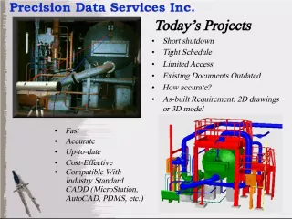
Laser Mapping and As-Built Surveys for Efficient Project Planning
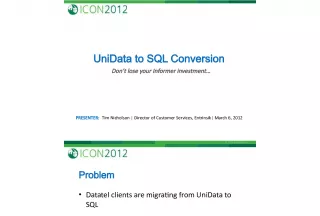
UniData to SQL Conversion: Don't lose your Informer investment
Teaching and Learning Functional Maths at E3: Mapping Guide for REF Skills and Curriculum Standards
Watershed Flood Maps for Apalachee Bay and St. Marks River
Extending CGMS for Drought Stress Mapping at Regional Scale
Previous