Geographic Information Systems Presentation

A presentation on GIS, a computer-based tool used to capture, store, integrate, analyze, and display geographically referenced data, given to the Natural History Division at the Institute of Jamaica in January 2003. Includes key components such as hardware, software, data, people, and procedures.
- Uploaded on | 6 Views
-
 bernard
About Geographic Information Systems Presentation
PowerPoint presentation about 'Geographic Information Systems Presentation'. This presentation describes the topic on A presentation on GIS, a computer-based tool used to capture, store, integrate, analyze, and display geographically referenced data, given to the Natural History Division at the Institute of Jamaica in January 2003. Includes key components such as hardware, software, data, people, and procedures.. The key topics included in this slideshow are . Download this presentation absolutely free.
Presentation Transcript
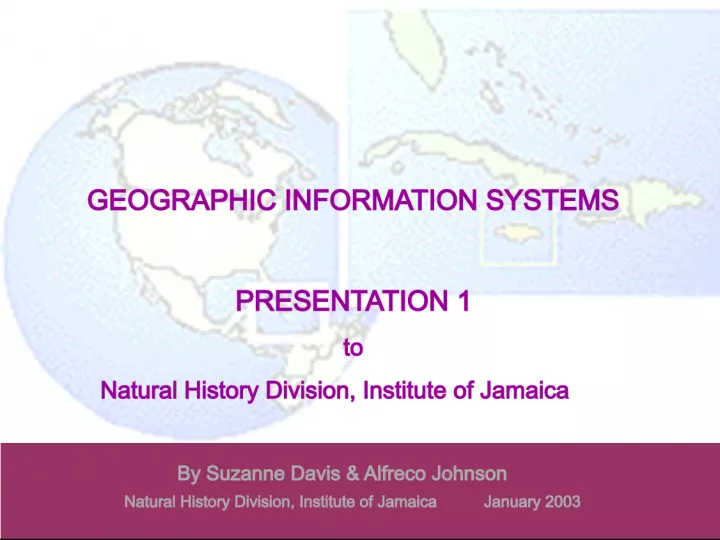
Slide1GEOGRAPHIC INFORMATION SYSTEMSPRESENTATION 1 to Natural History Division, Institute of Jamaica By Suzanne Davis & Alfreco Johnson Natural History Division, Institute of Jamaica January 2003
Slide2GEOGRAPHICINFORMATION SYSTEMS (GIS) GIS:- a computer-based tool used and managed by people to efficiently capture, store, integrate, analyze and display spatial (geographically referenced) data & associated attribute data. Key components: 1. Hardware (computer) 2. Software (storage, editing, analysis and display programmes) 3. * Data (spatial and descriptive or attribute) 4. People (applicators of tool to problems) 5. Procedures (based on plans/protocols/models unique to each organization)
Slide3GIS Characteristics A powerful mapping system that links locations to attribute data so you can: Present different types of information (ecological, social, educational, etc.) as maps Analyze locations and associated data/information Easily and efficiently update of spatial information (maps) Integrate maps with information from a variety of sources
Slide4Why Use GIS? Offers advanced data management capabilities for handling complex or various datasets linked to locations Allows improved research and planning activities by integrating data and information from different sources to produce a ‘wholistic’ picture. Facilitates colourful media presentations for easier interpretation of technical data & information by technical (e.g. scientists) and non-technical personnel (e.g. managers, policy-makers)
Slide5Spatial Data SPATIAL DATA:- a precise geographic location a distance or length referenced by geographic coordinates or an area that has measured boundaries referenced by geographic coordinates. Examples: maps & charts, surveyor records, building plans and satellite images points lines polygons
Slide6Benefits of Spatial Data Databases for taxonomic collections & field data have added value if the records include spatial data. Data on location or space is critical to understanding ecological patterns or natural phenomena If the same collecting methodology is used in the same geographic location periodically, it is assumed that detected trends or changes in wildlife occurrence and distribution reflects trends or changes that may have taken place in that environment or in ecological interactions. Spatial databases allow more efficient forecasting for businesses, land developers, education and research personnel, etc.
Slide7Applicability of a GIS GIS can be used in just about any situation where there is a spatial component and the composite features of the same space can be separated to form layers. What is a Map Layer? A layer is an abstraction of a single feature from a spatial area represented on a map . This is where one feature is pulled from a geographic area and made to stand alone.
Slide8Some Sectors in which GIS iswidely used Transportation (Highway system) Whether monitoring bus systems and road conditions, finding the best way to deliver goods and services, tracking fleet vehicles, or maintaining transportation networks Education A GIS allows students and researchers to ask and answer geographic questions by designing and analyzing maps using user-selected criteria. Engineering GIS provides the pipeline operator with improved capability to manage pipeline integrity, improved efficiencies in pipeline operations, and improved response to business development opportunities. Communication Location-based services combine GIS applications with easy- to-use mobile devices to provide information wherever and whenever it is needed.
Slide9GIS Sectors (cont.) Business Used in banking and insurance for more precise targeting of customers in marketing exercises Health and Human Services Understanding issues ranging from epidemiology to access to healthcare providers requires understanding the geographic context of health issues. Natural Resources Monitoring & Environmental Management Geography provides the framework to acquire, develop, and interpret the complex spatial and tabular datasets used for mining and the earth sciences. Mapping, spatial concepts, and time/space operations technology is absolutely essential to effective mining.
Slide10Example of GIS Use in TransportationLand Coverage of the United States
Slide11Major Highway Coverage(Highway Layer)
Slide12Highway layer superimposed withland coverage
Slide13United States Cities locationssuperimposed with highways
Slide14Who Uses GIS in Jamaica? Individuals Government agencies (e.g. Forestry Department, National Environment & Planning Agency, Urban Development Corporation) Non-government organizations (e.g. Jamaica Conservation Development Trust, the Nature Conservancy – Jamaica) Teaching & research institutions (e.g. University of Technology, University of the West Indies) Business enterprises & consultancies (e.g. Spatial Innovision
Slide15Processing of MapsThere are Two primary stages in the processing of Maps: Digitizing and Formatting Adding Attributes and Values
Slide16Digitizing and FormattingDigitizing is the process of assigning digital coordinates by physically or automatically tracing hard copy documents. Primarily used for converting paper maps or aerial photos into digital form.
Slide17Picture of a digitizing board Map or image is secured to board and important reference points are matched Important features of map are then traced with digitizing mouse by clicking the mouse
Slide18Digital references are then made to allpolygons in digitized image
Slide19Further formatting of the digitizedimage is done
Slide20Finished Product
Slide21Adding Attributes and Valuesof Features Attributes are descriptive characteristics of the features of a spatial entity. Attributes take the form of: Measurements – height, distance, intensity, etc Classifications – Acidic, alkaline, residential, etc. Quality – good, bad, satisfactory, A, B, C, etc
Slide22GIS Software ArcInfo Most comprehensive GIS available Defines spatial relationships between connecting or adjacent coverage features Provides GIS data creation (e.g. digitizing), updating, mapping, querying and analysis Arc View Most popular desktop GIS and mapping software Provides data visualization, querying, analysis, and integration capabilities along with the ability to create and edit geographic data.
Slide23AfricaCountries and lakes represented as polygons & rivers represented as lines
Slide24AfricaNorthern rivers selected (in yellow)
Slide25AfricaResult of a query to find out what countries the northern rivers traverse (in yellow)
Slide26Africa Country of Gabon Selected (in yellow)
Slide27AfricaCountries within 1000 miles of Gabon having rivers
Slide28The EndThank You